Multnomah Falls
Text Address to a Phone
You may use the following form to text the link of Multnomah Falls to a SMS capable phone.
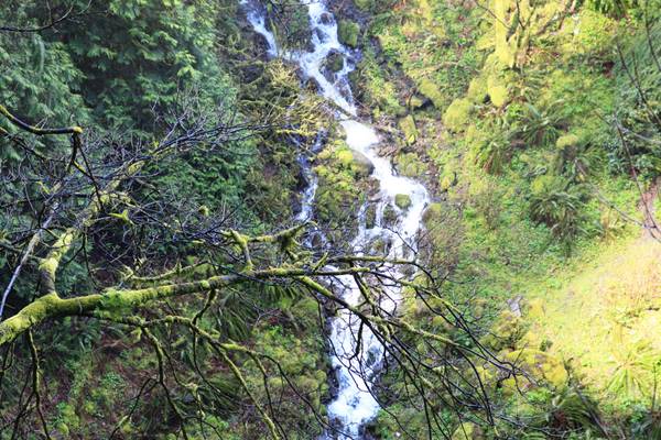
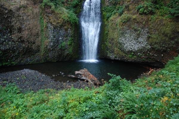
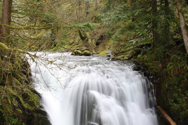
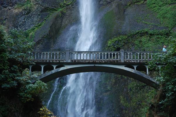
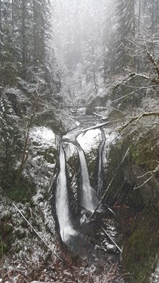
Multnomah Falls is a double-tiered waterfall that was formed by the scientifically documented Missoula Flood that occurred More than 15,000 years ago. Between the two drops the waterfall is 620-feet. It is located east of Troutdale, between Corbett and Dodson, in Multnomah County, on Oregon’s side of the Columbia River Gorge. The bridge was built in 1914, commissioned by Simon Benson. The trail to the bridge is paved. There is also a platform at the top of the falls for the more inspired.
An average of 2,000,000 visitors come to see this natural attraction yearly. Larch Mountain’s Underground springs provide the waterfall with year-round water, with spring runoff from the mountain's snowpack and rainwater as supplements. This waterfall has been cataloged in the World Waterfall Database.
The theory of how the Falls received its name was that S.G. Reed may have named the falls on the Steamboat tours during the 1860s. There is also a Native American Waco Legend “Coyote and Multnomah Falls” that tells of Coyote’s strong love for a Chiefs daughter that he made the falls to win her heart so she could bathe out of sight of everyone.
Visitors' Reviews
None of our visitors shared their reviews on Multnomah Falls yet.
Write a Review on this WaterfallNearby Nature Attractions
Following is a list of other nature attractions found within few miles of Multnomah Falls.
-
 Wiesendanger Falls
0.4 Miles
 -
 Fairy Falls
0.6 Miles
 -
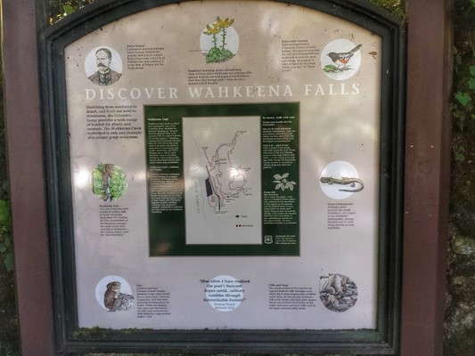
 Wahkeena Falls,
Corbett
0.6 Miles
 -
 Triple Falls,
Cascade Locks
2.1 Miles
 -
 Upper Oneonta Falls,
Cascade Locks
2.1 Miles
 -
 Upper Oneonta Falls
2.1 Miles

